The city map for an Osaka street go kart tour should be read as a guided loop, not a hop-on sightseeing schedule. W Go-Kart Osaka depicts approximately 8.9 kilometres and 46 minutes, beginning and ending at its Shinmachi base. The route travels through or near the context of Amerikamura, Shinsaibashi, Dotonbori, Namba/Nipponbashi, Ebisucho and Shinsekai/Tsutenkaku. Those names orient the drive; they do not promise entry, parking, drop-off or one exact photograph.
The operator recommends this city route at night. A visitor should therefore use the map to choose a moving Osaka-after-dark perspective, then use the published start times and package bands to build the booking. The guide leads the real journey, while traffic and signals prevent the drawing from becoming a second-by-second timetable.
The Osaka street go kart tour map has five readable layers
A route map can answer several buyer questions when its layers are not mixed together. Start/end markers describe service geography. A route line describes the loop. Place names provide orientation. Distance and minutes suggest scale. The operator’s day/night recommendation supplies product identity. None of those layers, alone or together, creates an attraction ticket or transport promise.
The Shinmachi marker defines both departure and return
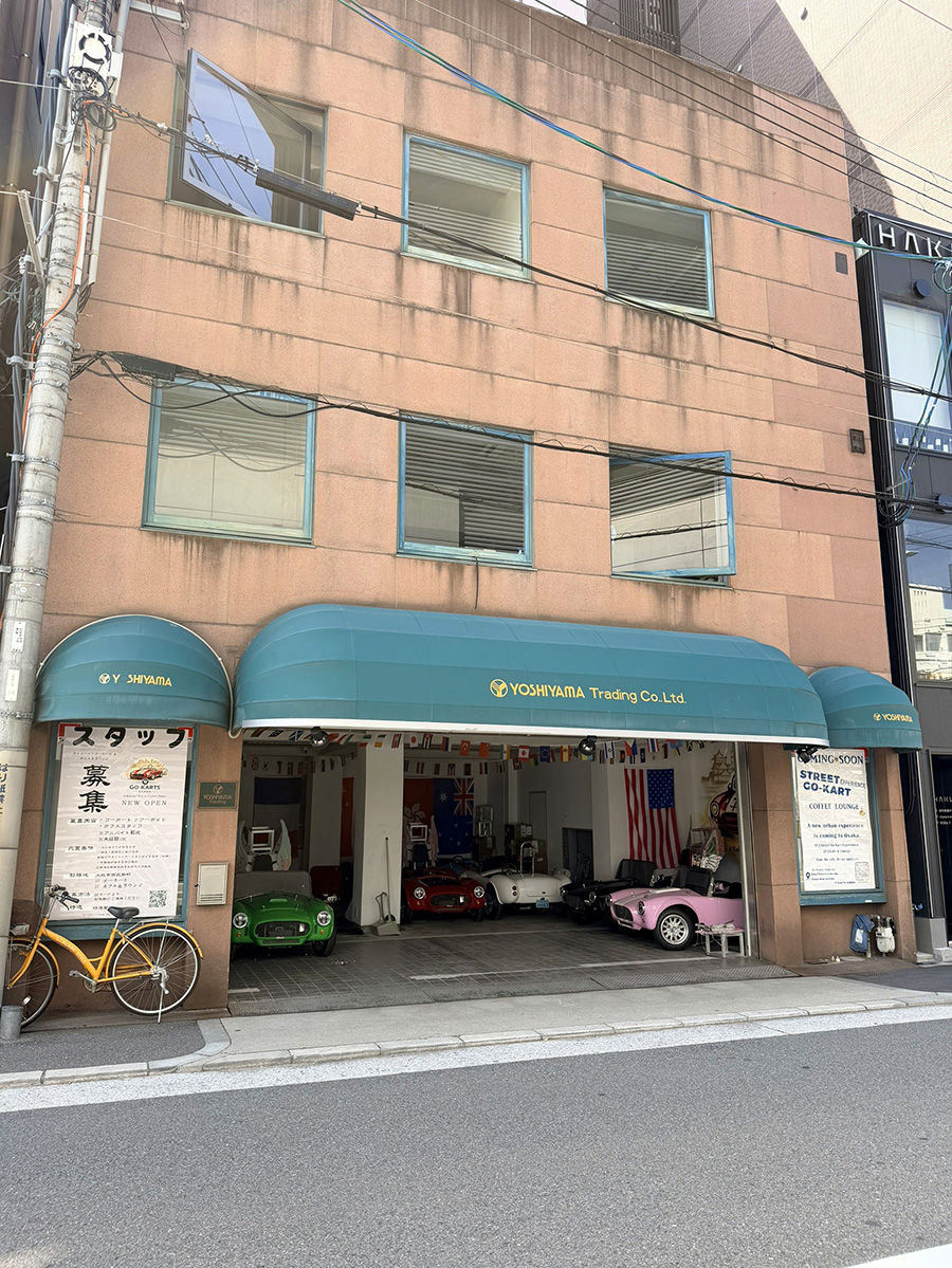
The service base is 3 Chome-5-2 Shinmachi, Nishi Ward, Osaka 550-0013. Guests arrive there ten minutes before the selected start, complete original-document checks and hear the briefing. After following the city loop, they return to the same base. A hotel in Namba may feel close to the route’s named districts, but it is not the meeting point.
The 8.9-kilometre line describes a loop rather than free navigation
Visitors drive behind the guide; they do not collect a kart and choose which part of the line to follow. The route length helps compare scale, not personal mileage. A guest cannot shorten the tour by leaving in Dotonbori or expand it by adding a preferred restaurant street. The line belongs to the operator’s guided service.
The 46-minute label sits inside an approximately one-hour product
The mapped time should be read as approximate route context. Reception, briefing, preparation, signals, public traffic and return handling explain why a 46-minute label cannot be used as a guaranteed release time. A visitor with a reserved train or dinner should plan onward travel from Shinmachi after the service, not from the final minute printed on a map.
The district names describe context rather than guaranteed stops
Amerikamura and Shinsaibashi belong to the Minami city story; Dotonbori is a well-known entertainment and food district; Namba and Nipponbashi continue that southern urban sequence; Ebisucho connects toward Shinsekai and Tsutenkaku. The map uses recognizable places to make the loop legible. It does not state that the group parks in each one.
The night recommendation identifies the intended visual setting
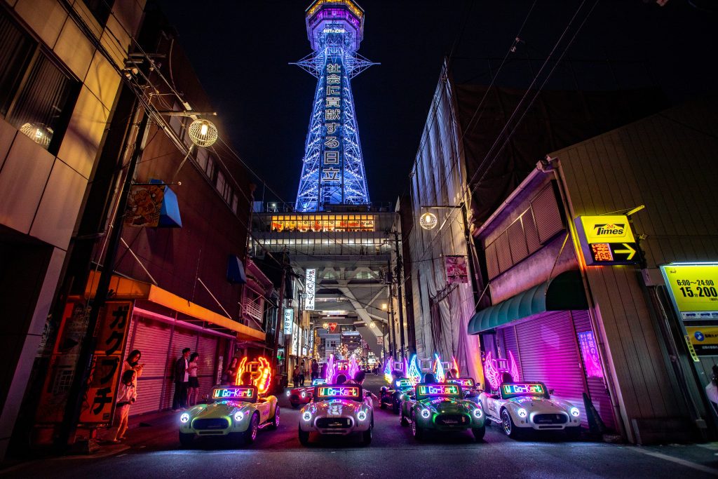
W Go-Kart Osaka recommends the city loop at night, which aligns the route with illuminated signs and the authentic Tsutenkaku-area photograph on the site. Seasonal darkness, crowds and traffic remain variable. “Night route” is a service recommendation and package context, not a guarantee that every street is empty or every sign is visible from one position.
The operator map and a transit map answer different travel questions
The operator map answers what happens after the group leaves the Shinmachi base in karts. An Osaka Metro or railway map answers how a guest reaches that base and travels onward after returning. Combining the two is useful; substituting one for the other is not. Namba appearing in the guided loop does not make Namba Station the check-in point, while a rail line near Tsutenkaku does not redraw the kart route. A traveller should calculate two independent movements: hotel to Shinmachi by normal transport, then the guide-led loop back to Shinmachi.
A printed route picture is not a live traffic display
The map communicates the intended city experience but does not show the signal phase, pedestrian movement, road work, congestion or weather that will exist at the selected start. Those live conditions belong to the operating day and the guide’s delivery. This is why the line can remain meaningful even when the group’s rhythm differs from the printed 46-minute context. Buyers should compare routes with the map and evaluate actual conditions through current operator communication, never by assuming the illustration freezes Osaka traffic.
Named Minami districts explain the first city-route identity
Official Osaka tourism divides the city into recognizable areas and provides a Minami map covering Namba and Shinsaibashi. That external map helps a traveller understand place relationships, but it is not W Go-Kart Osaka’s operating route. Use official tourism for general district orientation and the operator map for the selected guided service.
Amerikamura signals youth-culture context, not shopping time
Official visitor material describes Amerikamura as a youth-culture area west of Shinsaibashi. Seeing its name on the kart map tells a buyer something about urban character. It does not include browsing vintage shops, stopping in Sankaku Park or choosing a café. Those are separate pedestrian activities for another part of the trip.
Shinsaibashi and Dotonbori signal dense commercial scenery
Dotonbori is officially presented as a symbolic Minami shopping and entertainment district known for prominent signs and restaurants. That makes it a natural orientation name for a night drive. Yet road traffic decides what the driver can see at any instant, and the guest must not hold a phone to capture a sign while moving.
Namba and Nipponbashi do not turn the tour into hotel transport
A person staying near Namba may assume a route bearing the district’s name can collect or drop them there. W Go-Kart Osaka publishes only the Shinmachi base for arrival and return. The Namba route-planning article separates seeing the area during the loop from travelling between a Namba hotel and the shop.
Ebisucho and Shinsekai explain the Tsutenkaku end of the map
Official tourism identifies Shinsekai as the southern district associated with Tsutenkaku and places Ebisucho as a nearby access point. These place facts explain why the tower gives the city route a strong identity. They do not establish where a kart stops or whether a particular attraction is open during the selected hour.
Tsutenkaku is a route anchor, not an observatory ticket
The tower has its own admission, hours and attractions managed separately from W Go-Kart Osaka. The kart package includes no observation-deck entry. A visitor who wants both should book and time them independently, remembering that the kart returns to Shinmachi rather than ending at Ebisucho.
Shinsekai atmosphere remains a moving public-road experience
Restaurants, signs and streets give Shinsekai a recognizable nighttime character. From the kart, they form part of the surrounding city rather than a food crawl. Alcohol belongs after the driving portion, and eating belongs outside the moving route. A later visit on foot can provide the depth that the guided loop intentionally does not.
The authentic Tsutenkaku image proves setting, not repeatable framing
W Go-Kart Osaka’s media library contains a genuine photograph of several karts with the illuminated tower area. It supports the reality of the night route. It cannot promise identical weather, traffic position, lighting, group spacing or camera angle for every booking. Evidence of a setting should not be converted into a guaranteed shot.
Four map-reading errors can distort the purchase
A route line is not a catalogue of photo stops
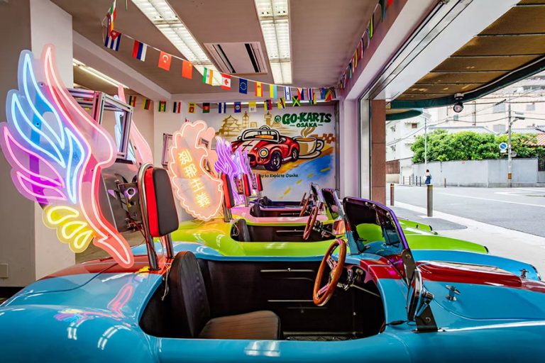
The homepage says guests may take photos at stops and guides may assist, while taking photos during driving is prohibited. The map does not publish the number, location or duration of those stopped moments. A buyer should value any approved photo opportunity without attaching it to a specific district icon in advance.
A landmark name is not a drop-off instruction
“Tsutenkaku route” identifies the city loop; it does not instruct the guide to end at the tower. Likewise, Namba on the map does not create a hotel transfer. Every participant should memorize the same final point: W Go-Kart Osaka in Shinmachi. Onward travel begins there.
A mapped minute is not a railway connection guarantee
Forty-six minutes cannot absorb every check-in, traffic and return variable. A 21:00 start should not be paired with a transport departure calculated from 21:46. The night-start comparison treats 20:00, 21:00 and 22:00 as different itinerary decisions rather than identical route clocks.
A familiar district is not permission to leave the guide
A guest may recognize Dotonbori or a street near their hotel and believe they can continue independently. The service is guide-led and the kart returns to the base. Leaving the route would transform the transaction into a kind of rental the operator does not publish. Familiarity should improve orientation, not weaken group leadership.
The city map should be paired with three non-map checks
A route drawing cannot establish legal eligibility, package price or cancellation rights. Those decisions need separate operator pages. Reading them together prevents a visually appealing map from pulling a buyer past a missing licence set or unsuitable start time.
Original documents decide whether the mapped drive is possible
Each driver needs a valid Japanese licence, the original Geneva IDP/domestic licence/passport set, or an accepted original foreign licence/authorized Japanese translation/passport set for a listed jurisdiction. A phone image does not replace the original paper IDP. Confirm the path before the group becomes attached to the route.
The 20:00 boundary changes the city package
Starts at 17:00, 18:00 and 19:00 cost JPY 10,000 with coffee JPY 500, speaker JPY 500 and 360 camera JPY 1,000 as separate options. Starts at 20:00, 21:00 and 22:00 cost JPY 13,000 and include those three items. Guide, insurance, costume and approximately one hour are included throughout.
The 48-hour policy determines how firmly the map is booked
Customer cancellation is free until 48 hours before the scheduled tour. Inside the boundary, it is non-refundable, while rescheduling depends on availability. Severe or unsafe weather can produce an operator cancellation with refund or no-cost reschedule under current terms. These conditions matter more than imagined route precision.
Read an Osaka street go kart tour map in one complete sentence
A useful final reading is: “We will arrive ten minutes early at Shinmachi with valid originals, follow the guide on the night-recommended approximately 8.9-kilometre city loop for an approximately one-hour service, see Minami and Shinsekai context while moving, and return to the same shop before travelling onward.” Every important map boundary is present.
If the sentence fits the trip, check the two-route view guide once more, then use the booking form for the current date, time, guest count and route/price selection. The one-to-seven field is not a fleet-capacity promise, and submission does not change document requirements.
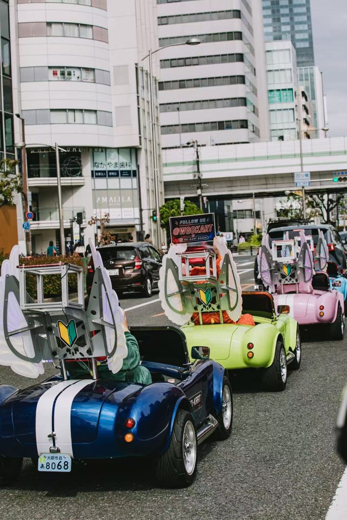
Map information checked on 24 August 2026: start/return, city-route measure, place labels, recommendation, service length, photo guidance, starts, price bands, documents and policies were checked on W Go-Kart Osaka pages. Official Osaka tourism supports only general area identity and map context. No exact turn, stop, view, attraction entry, pickup, drop-off, finish or capacity is claimed.
The city map is valuable because it makes a complex Osaka view understandable before the wheels move. W Go-Kart Osaka gives the visitor a named loop, measured scale, night recommendation, guide and real Shinmachi base. Read those facts accurately, then let the guide and live street—not an imagined timetable—shape the journey through Minami toward Shinsekai and back.